Airborne Research Australia
Not-for-Profit Independent Approved Research Institute

All Donations are tax-deductible.
We thank you for your consideration.
Airborne Mapping for Bushfire Recovery
2019/20 Cudlee Creek and Kangaroo Island Fires
Click on the images to see larger versions.
To download the data and images, click
Cudlee Creek (Adelaide_Hills) or Kangaroo_Island
To get other full resolution imagery or base data,
contact bushfire@airborneresearch.org.au
Collection of Video animations of the fire-affected areas
Bushland Park, Lobethal
26 Jan 2020
Bushland Park, Lobethal
26 Jan 2020
The animations
were generated from the Lidar pointcloud coloured by the RGB-imagery.
All data is from the flight - no ground-based data.
And here are two media items about this project plus a Visual Story and a 3D-Animation


near Western River / Kangaroo Island

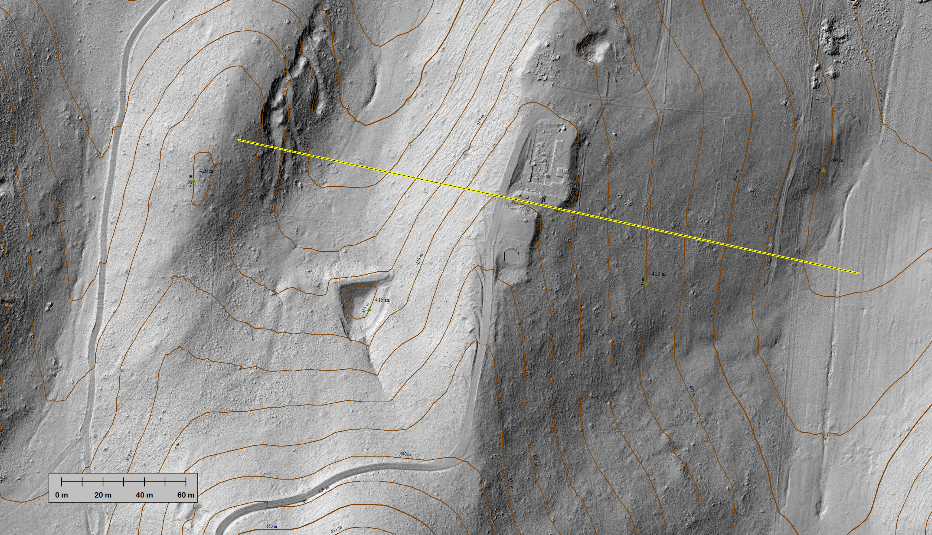
3m-wide crosssection along
yellow line
trees on elevation profile
tree height above ground
Breakneck River / Kangaroo Island
Use the arrows on the sides of the image For large version, click here
 |  |  |
|---|---|---|
 |  |

RGB-coloured Lidar pointcloud
near Gumeracha / Adelaide Hills
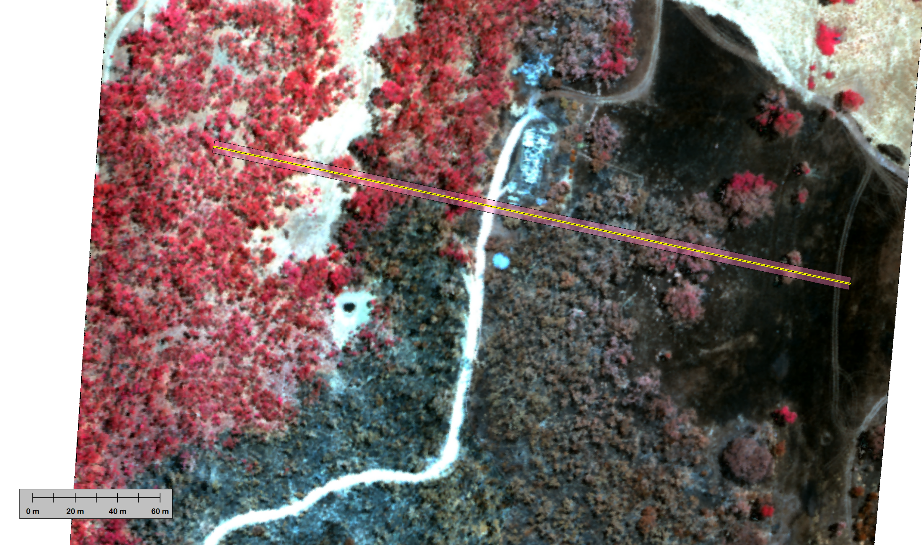
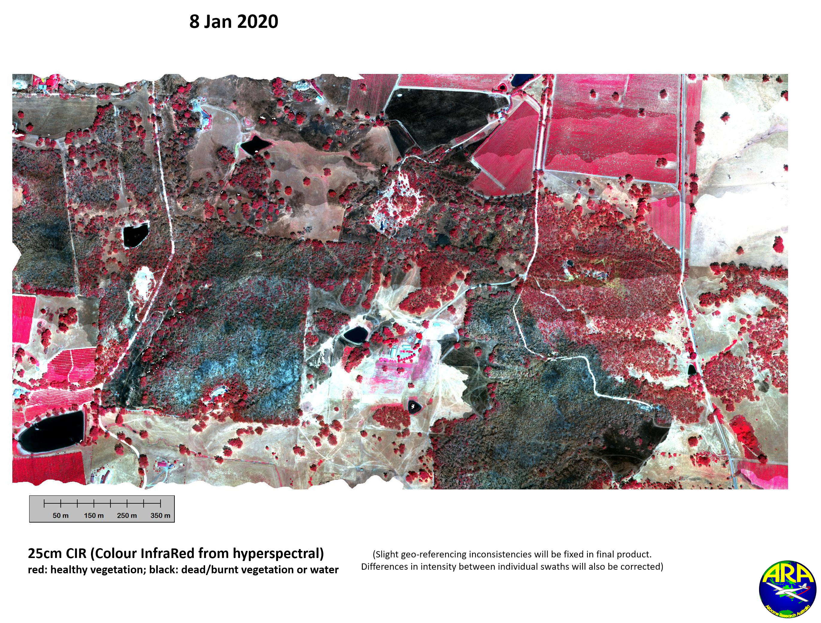
CIR-image of burnt and un-burnt land
red: un-burnt; black: burnt (or water)
CIR: Colour InfraRed
derived from hyperspectral measurements (128 bands)

3m-wide crosssection (see line above)
through Lidar pointcloud coloured with CIR.
Note the partially burnt trees.
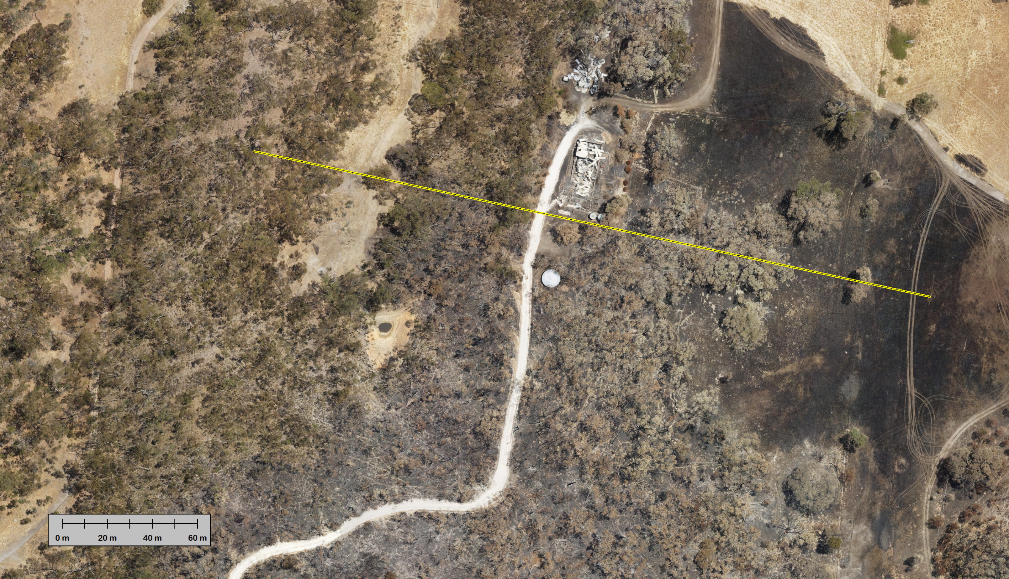
RGB-image
MUST SEE:
There are now also two 3D-interactive views of the Lidar pointcloud - click the image - and make sure you set POTREE to "High Quality".
Zoom in to individual tree size.
To our amazement, we even found two eagles
soaring over the forest. And yes, these are eagles, the lager one has a wingspan of 1.48m.
Check it out yourself in the POTREE animation !


In airborne Lidar data one can remove trees
without bushfires or cutting them.
That's a very powerful feature to detect structures
usually hidden by trees or other vegetation.

Put cursor over image to remove trees
Put cursor over image to remove trees
The grey scale images were rendered using RVT - Relief Visualization Toolbox Version 2.0
Kokalj, Žiga, Klemen Zakšek and Krištof Oštir. 2011. Application of Sky-View Factor for the Visualization of Historic
Landscape Features in Lidar-Derived Relief Models. Antiquity 85 (327): 263–273.
Zakšek, Klemen, Krištof Oštir and Žiga Kokalj. 2011. Sky-View Factor as a Relief Visualization Technique. Remote Sensing 3: 398–415.
The Fly-Through was generated from the Lidar pointcloud coloured by the RGB-imagery. All data is from the flight - no ground-based data. Download the data from here.
This project is substantially supported by the
Early preliminary results - currently being worked on
near Western River / Kangaroo Island
An animation of this data is available on the Riegl Lasermesstechnik website
(scroll to the bottom of that page)

