Airborne Research Australia
Not-for-Profit Independent Approved Research Institute

All Donations are tax-deductible.
We thank you for your consideration.
Airborne LiDAR of the Trans-Australian Railway between Forrest and Kalgoorlie, Western Australia
This is probably the most boring LiDAR data set in the world - about 600km of nearly straight railway line through a pretty featureless landscape - the Nullarbor Plains.
Here is a first glimpse at the data...
Download the Google Earth kmz-files or laz-files by clicking on the image

100km of railway line - the gray line is the LiDAR coverage - on average 200m wide.


1km of this same section of railway line - with vegetation on the left, bare ground on the right
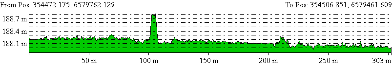
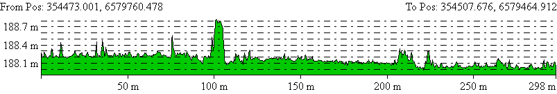
2m-wide N-S cross section - with vegetation on the left, bare ground on the right

2m-wide N-S cross
section (note railway line in the centre)


aerial images of the area shown above


Loongana Triangle - aerial image and LiDAR elevations